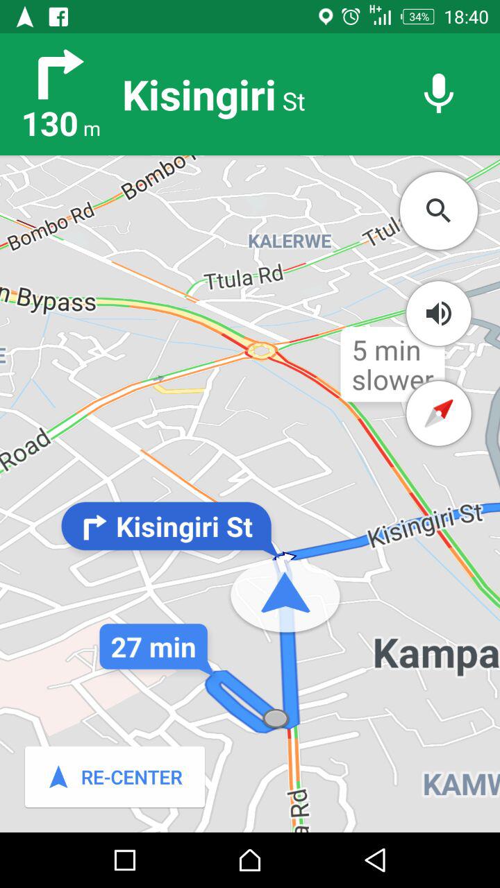
While this feature has been around in other cities around the world, Kampala only had turn-by-turn voice navigation. We started spotting the feature about one month ago. We have been testing it for a while now and it seems to be quite accurate. Google maps will use red lines to show heavy traffic while green lines signify low traffic. With this in mind, you can plan your route accordingly to avoid Kampala’s notorious traffic jams. To turn on live traffic, tap the menu icon and then check “All Traffic”. Here’s meaning of Google Traffic color codes;
Green: normal speed of traffic Yellow: slower traffic conditions Red: congestion/traffic jam Dark red: nearly stopped or bumper-to-bumper jam. Grey: no data available.
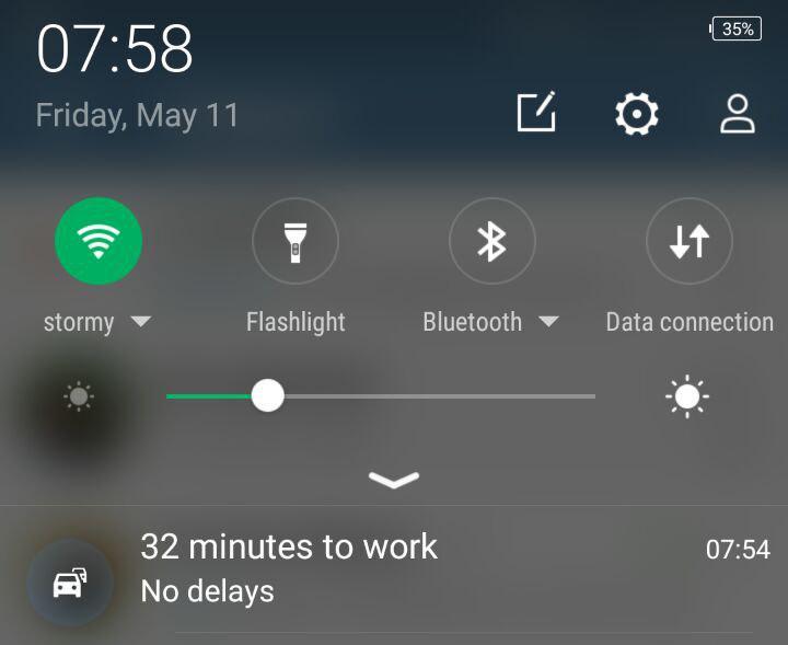
Because Google now can pull live traffic updates, it can also tell you how long it will take you to get your work or home if you set these locations in your account. When I wake up in the morning to start my commute, I normally get notifications about how long it will take to get to work.
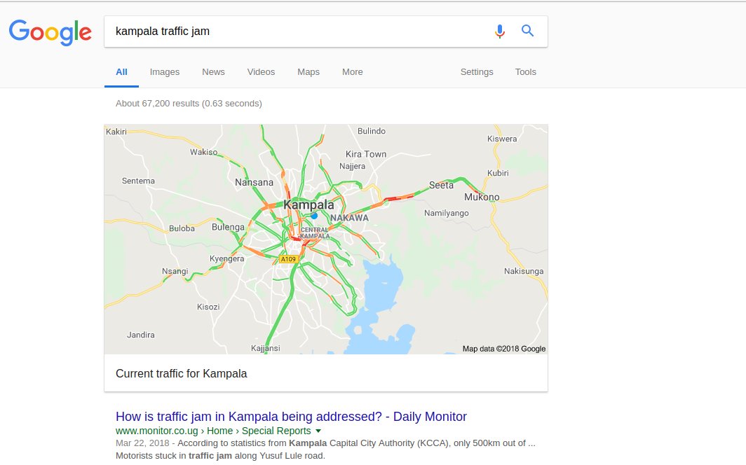
In fact, Google is now returning live traffic updates once you Google search “Kampala traffic” on the main website. When you click on the result, it will take you to Google Maps showing live traffic updates.
How it works
Google uses your smartphone GPS which sends anonymous location data to remote cloud servers. This data is aggregated from several road users to correctly determine live traffic conditions on the road. If your GPS is not turned on or if you don’t have data bundle, then Google uses a technique called trilateration. Mobile telecoms constantly monitor location of subscribers by measuring the distance (time delay) to three or more surrounding cell phone towers. This is possible because your phone is constantly updating it’s location to the nearest masts with or without an active data plan.


